|
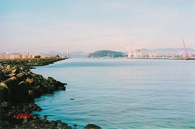
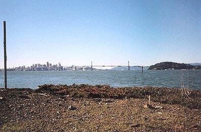
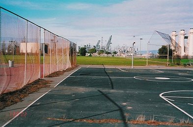
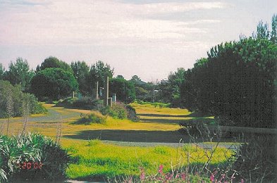
Bay Trail would follow the shoreline on the left for about half the distance to the point, and then it would veer inland between golf course fairways. Port of Oakland is on right.
|
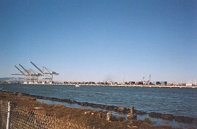
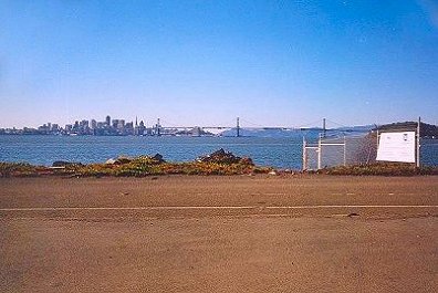
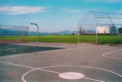
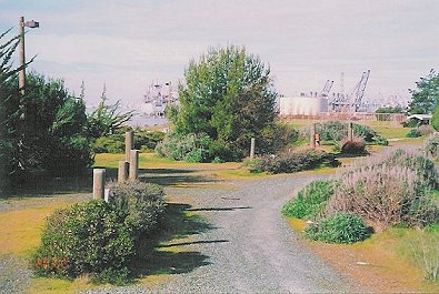
Looking toward the Port of Oakland from the site of the proposed golf course. The Bay Trail would veer inland at this point in the current golf course proposal.
|
|
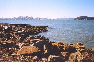
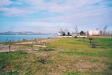
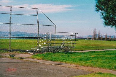
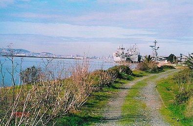
At the site of the original Point Park in the Reuse Plan. December, 2002, workshop consensus has the Bay Trail returning to the shoreline at this point and
continuing along the full length of the western shore. A small observation/rest stop park of several acres would extend from the foreground of this picture to the rear along the estuary. No road will go to this point.
|
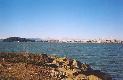
This is part of the original site for Point Park in the Reuse Plan. Latest consensus calls for an elevated golf hole to the left of this picture. Trail would be on shoreline with possibly a stone and slate protective overhang called a Captain's Walk where the Trail passes the golf hole.
|
|
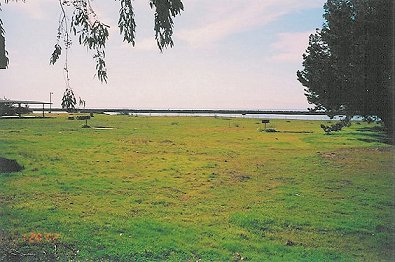
This is approximately where the Marina Green style, main park will begin. A small beach accessible at low tide is adjacent to this area.
|
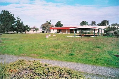
This will be the site of the main park. To the left is the Wildlife Refuge. A road will bring visitors to this site with parking expected to be to the left on Refuge property. Eventually a Wildlife Refuge Visitors Center could be built just a few steps from this area.
|